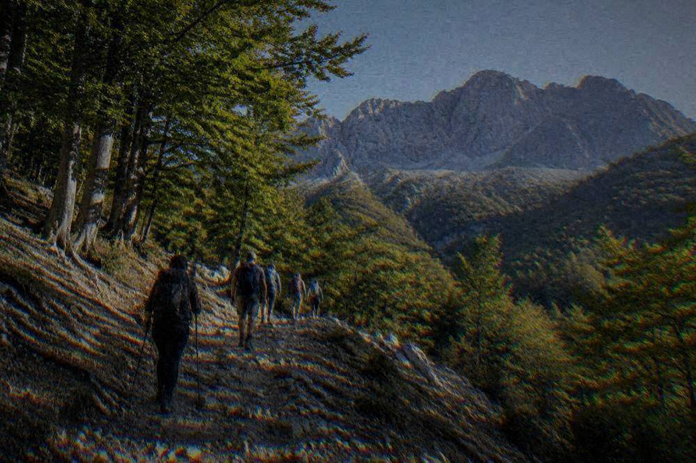
Hiking Near Thessaloniki: Seich Sou To Hortiatis
Thessaloniki sits between a seafront plain and real mountains, and the hiking within an hour of Aristotelous Square runs from a city forest to Olympus trailheads.
Short answer
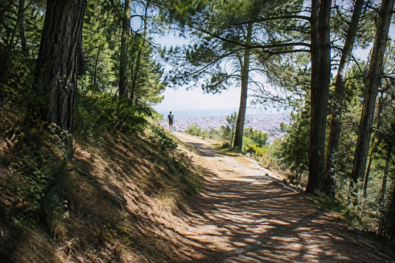
The closest hiking to central Thessaloniki is the Seich Sou forest on the city's northern edge, reachable by city transport; Hortiatis sits a short drive southeast; and the big mountain days, Litochoro and the Prionia trailhead on Mount Olympus and the Dion park, are each about 67 to 86 minutes by road from Aristotelous Square.
Thessaloniki is a coastal city on the Thermaic Gulf, but it does not sit on flat ground alone. The plain ends abruptly on the city's northern edge at the Seich Sou forest, and the hills rise again to the southeast toward Mount Hortiatis, while the big mountain country of Central Macedonia, Olympus above all, begins about an hour's drive southwest of Aristotelous Square. That geography gives a visitor an unusual range: a morning walk under pines without leaving the city limits, and a genuine mountain trailhead the same afternoon.
Where Can You Hike Around Thessaloniki?
The hiking closest to central Thessaloniki is the Seich Sou forest on the city's northern edge, followed by the Hortiatis massif a short drive southeast of the centre; beyond those, the named mountain destinations are Litochoro and the Prionia trailhead on Mount Olympus, the Dion archaeological park, and the waterfall country around Edessa, each between about 67 and 100 minutes by road from Aristotelous Square.
Thessaloniki is not an island and not a resort strip: it is the second city of Greece, set on a gulf with a mountain wall behind it. The practical consequence for a hiker is that the city itself supplies the easy woodland walking, the near hills supply the half-day climbs, and the Olympus massif supplies everything above that, at the cost of a drive.
The drive times below are computed over OpenStreetMap routing from Aristotelous Square in free-flow conditions, which means no traffic, no parking and no stops, so treat every figure as "about". What the table shows is the real hierarchy of a hiking week here: the forest is effectively in the city, the Olympus trailheads are a morning's commitment, and Meteora, at about 228 km and a full day, belongs to a separate plan entirely.
| Hiking destination | Direction from centre | Road distance from Aristotelous Square | Free-flow drive time |
|---|---|---|---|
| Seich Sou forest | North, at the city edge | within the urban area | city transport |
| Mount Hortiatis | Southeast | short drive from the city | short drive |
| Litochoro (Olympus base town) | Southwest | 90.7 km | about 67 minutes |
| Dion archaeological park | Southwest | 90.1 km | about 67 minutes |
| Mount Olympus (Prionia trailhead) | Southwest | 106.9 km | about 86 minutes |
| Edessa (waterfall park) | West | 90.3 km | about 82 minutes |
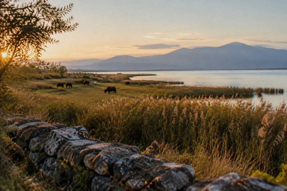
| Lake Kerkini (birdwatching walks) | North | 88.0 km | about 82 minutes |
| Meteora (Kalambaka) | Southwest | 227.5 km | about 154 minutes |
The distinction matters because plenty of general advice flattens it. A page that treats "Olympus" and "a walk near the hotel" as the same category of outing produces bad plans. They are different days with different gear, and the sections below treat them separately.
Is The Seich Sou Forest Good For Walking Without A Car?
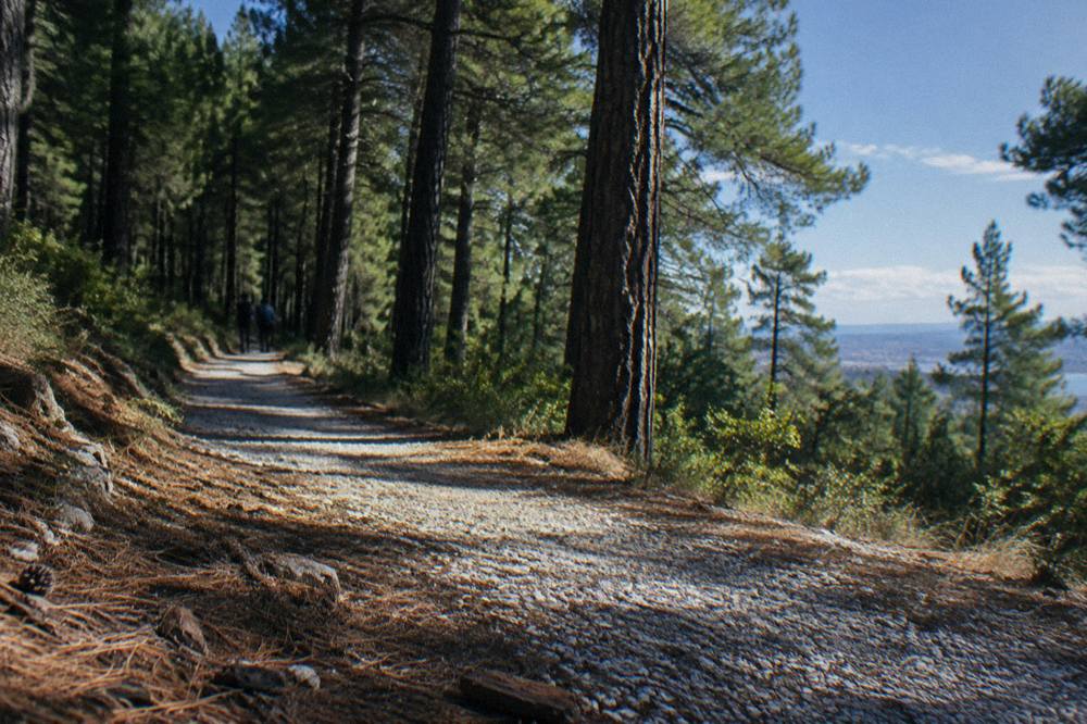
Seich Sou is the planted pine forest that covers the hills at Thessaloniki's northern edge, and it is the one hiking ground you can reach from the centre without a vehicle, using the city's ordinary buses and the metro connections that feed them; it offers shaded woodland paths on rising ground rather than a mountain, and it works as a morning or evening walk from anywhere in the city.
The forest is the city's green wall. It is a municipal woodland, and its role in Thessaloniki life is closer to that of a large city park than a nature reserve: residents use it for running, dog walking and shaded loops in the hotter months.
What can be said plainly is the fit. Thessaloniki's summer heat is real: the HNMS Thessaloniki Mikra station record, 1959 to 2010, puts the July mean daily high at 31.7 C and August at 31.4 C. Shade is therefore not a small amenity. A forest at the top of the city, reachable without a car, is the natural first stop for anyone who wants to walk in the morning before the day builds, and the same walk in October or April, when the mean highs sit at 21.2 C and 19.1 C, is a different, gentler experience.
For the stretches of the city between the walks, a guided ride works well as a companion activity. The Thessaloniki Bike Tour Past The White Tower & The Rotunda covers the monumental seafront and the Roman core at cycling pace, a good pairing with a hiking morning further out; Check availability for dates.
If a walking day in the hills leaves an evening free, a private orientation walk with a local is the efficient way to place the city's layers in order; the Thessaloniki Private Walking Tour with a Local can be shaped around what you want to see.
For a fuller picture of the urban half of the trip, the things to do in Thessaloniki page carries the museums, the Byzantine monuments and the food stops that a hiking trip to the region usually shares space with.
Can You Hike Mount Olympus On A Day Trip From Thessaloniki?
You can reach the Olympus area from Thessaloniki in about 67 minutes by road to Litochoro or about 86 minutes to the Prionia trailhead, but a day trip is a visit to the base town, the Dion park or a trailhead walk, not a summit claim: no hiking time to the summit and no route difficulty rating is given, so no summit schedule is offered.
This is the point where careless advice does the most damage. The drive to Litochoro is genuinely short, about 67 minutes free-flow from Aristotelous Square over 90.7 km of road, and the Prionia trailhead, the Olympus pin in the routing data, is about 86 minutes over 106.9 km. Those numbers make the mountain feel close. It is close to drive to.
The supported shape of an Olympus day is therefore this: drive to Litochoro, the stone-built base town at the mountain's foot, and walk from there; or drive on to Prionia and take a trailhead walk on the forest paths around the Enipeas gorge area; or, on the way, stop at Dion. If your ambition runs to the summits, treat that as a separate expedition to plan with a mountain guide and current conditions information, arranged on the spot or in advance with an operator, not as a day-trip side effect.
Two dated facts do belong here. Refuge A on Olympus, the mountain hut above Prionia, is reported to open roughly from early May to late October, so confirm its status before you go. A morning on the mountain and an afternoon among the Roman remains at its foot is a classic regional pairing, and both halves fit in one long day.
| Olympus-area stop | Road distance | Free-flow drive time | What it gives a walker |
|---|---|---|---|
| Litochoro | 90.7 km | about 67 minutes | base town, gorge paths, supplies |
| Dion archaeological park | 90.1 km | about 67 minutes | Roman city in a plain setting, shaded lanes |
| Prionia trailhead | 106.9 km | about 86 minutes | forest trailhead on the mountain's flank |
A nature outing that needs no summit ambitions at all is the Olympus lagoons trip, which takes in the wetland country on the mountain's seaward side; the operator's listing carries the current details.
What Kind Of Walk Is Mount Hortiatis?
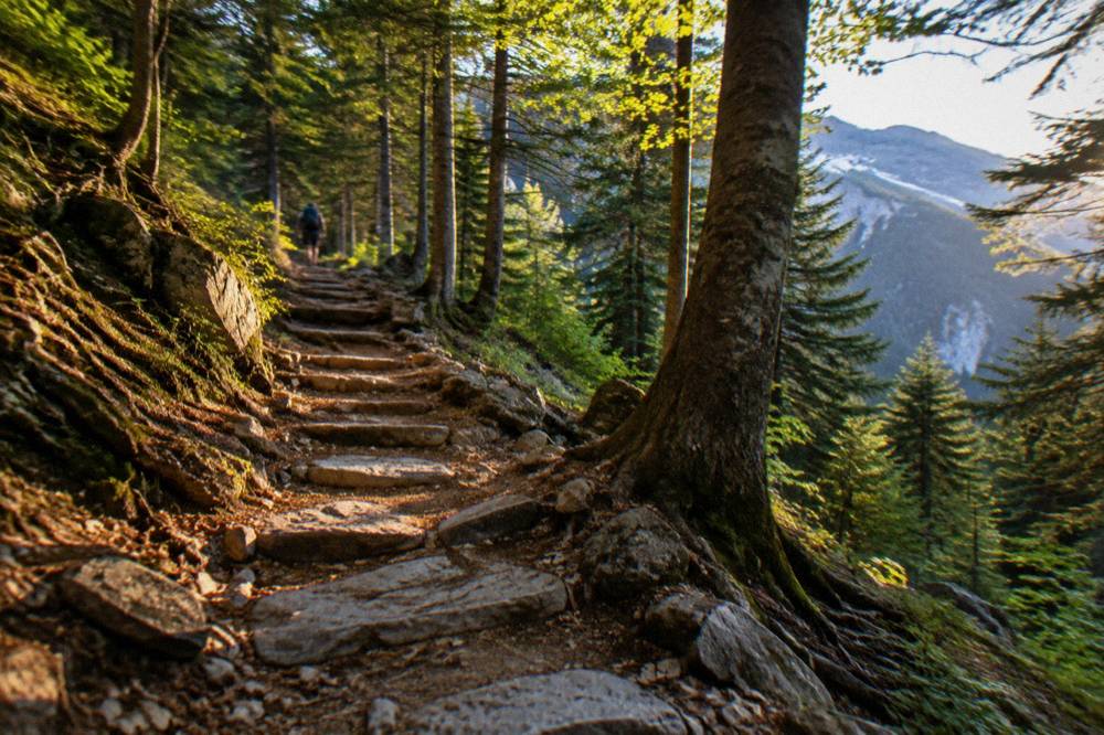
Mount Hortiatis is the wooded massif directly southeast of Thessaloniki, the hill country you see from the seafront on clear days, and it is the natural mid-point between the city forest and Olympus: a short drive from the centre, with village trails and forest roads rather than high mountain terrain, suited to half-day walks.
What it does support is the geography: the massif stands over the city's southeastern flank, the village of Hortiatis on its slopes is a short drive out of town, and the terrain is forest and scrub country, not the bare granite of the high Olympus. For a traveller without a full day, that profile is exactly the point. You can leave Aristotelous Square after breakfast, be walking within half an hour or so, and be back for a late lunch.
Village walks pair naturally with food here. The wider region's table is covered in the what to eat in Thessaloniki guide, and a Hortiatis half-day slots into the same rhythm as a market morning or an ouzeri evening: short, low-commitment, close to the bed.
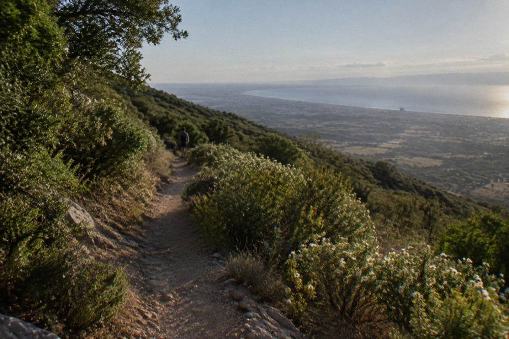
One planning note belongs with any Hortiatis outing. The summer heat that makes the Seich Sou shade valuable applies doubly on open scrub slopes, where the July mean high of 31.7 C at the HNMS Thessaloniki Mikra station, 1959 to 2010, meets reflected heat from rock and earth. The station record is a lowland measurement at the airport, and upland conditions can differ in both directions; either way, morning starts are the sensible default from June through August.
Which Other Trails Sit Within About An Hour And A Half Of Thessaloniki?
Beyond Olympus and Hortiatis, the day-trip radius from Thessaloniki holds the Edessa waterfall park at about 82 minutes by road, the walking and birdwatching country of Lake Kerkini at about 82 minutes, and the lowland ruins of Pella at about 43 minutes, giving a week of walking-adjacent outings without ever repeating ground.
Each of these is a different kind of day out. Edessa is a waterfall town: the park around its main cataracts is a public outdoor space with paths, and entry to the park itself is free, per the municipality's own pages, with small separate fees possible for individual indoor attractions such as the water museum, so check locally what is open. Pella is archaeology rather than hiking, but it combines with walks in a way museum days do not always manage, and at about 43 minutes from the square it is the easiest ancient half-day in the region. The wider set of guides lives on Thessaloniki Travel Guide.
| Destination | Road distance from Aristotelous Square | Free-flow drive time | Character of the visit |
|---|---|---|---|
| Pella | 45.7 km | about 43 minutes | lowland ruins and museum |
| Edessa waterfalls | 90.3 km | about 82 minutes | waterfall park, flat paths |
| Lake Kerkini | 88.0 km | about 82 minutes | lakeside circuits, birdwatching |
| Veria | 72.8 km | about 52 minutes | old-town walking, base for the region |
| Naoussa | 92.3 km | about 76 minutes | vineyard and woodland country |
| Loutra Pozar | 111.4 km | about 100 minutes | thermal springs in a gorge |
The two spa and gorge options at the end of that table, Loutra Pozar above all, stretch the "walk" definition, but they belong in the same folder: outward days through northern Greek hill country with short walks attached.
For the logistics of reaching any of these without your own car, the getting around Thessaloniki guide covers the metro, the buses and the intercity stations, and the Thessaloniki car rental guide covers the case for driving yourself, which for hikers in this region is usually a strong one.
When Is The Best Season For Hiking Near Thessaloniki?
The best hiking months around Thessaloniki on the climate record are spring and autumn: April and October post mean daily highs of 19.1 C and 21.2 C at the HNMS Thessaloniki Mikra station, 1959 to 2010, against 31.7 C in July, and rainfall is moderate across the year with December the highest monthly total at 55.1 mm and August the lowest at 19.3 mm.
The station record rewards reading closely. Summer is not just warm, it is structurally dry: August averages only 19.3 mm of rain across 5.1 rain days, which is why the season is reliable for morning walks and punishing for midday ones. Spring carries slightly more rain than summer, 36.1 mm in April across 11.1 rain days, but in exchange it gives ground temperatures where climbing hills is a pleasure rather than an endurance event.
| Month | Mean daily high C | Mean daily low C | Rain mm | Rain days |
|---|---|---|---|---|
| Jan | 9.3 | 1.5 | 37.7 | 11.5 |
| Feb | 11.0 | 2.3 | 35.0 | 10.7 |
| Mar | 14.3 | 4.7 | 37.9 | 12.1 |
| Apr | 19.1 | 7.9 | 36.1 | 11.1 |
| May | 24.6 | 12.6 | 44.2 | 11.0 |
| Jun | 29.4 | 17.0 | 29.8 | 7.9 |
| Jul | 31.7 | 19.3 | 23.8 | 6.7 |
| Aug | 31.4 | 19.1 | 19.3 | 5.1 |
| Sep | 27.1 | 15.4 | 29.8 | 7.0 |
| Oct | 21.2 | 11.3 | 43.0 | 9.3 |
| Nov | 15.5 | 7.1 | 52.8 | 11.0 |
| Dec | 10.9 | 3.2 | 55.1 | 12.7 |
All figures are HNMS Thessaloniki Mikra station, 1959 to 2010, a weather-station record from the lowland airport site; mountain conditions at Olympus or Hortiatis run colder and wetter at altitude than the plain, and the mountain's own hut season, reported as roughly early May to late October, is a better calendar for the high ground than any lowland table.
The seasonal argument in one line: come in April, May, September or October for the hills; come in July and August if the plan is dawn starts, the Seich Sou shade and the sea, and see the Thessaloniki weather guide and the best time to visit Thessaloniki guide for the fuller picture.
What Should You Know Before Hiking In This Region?
Three things carry the weight on any hiking plan around Thessaloniki: the emergency number in Greece is 112, the mountains sit close to a lowland climate table so pack for a temperature gap between the city and the trailhead, and the infrastructure around the trails, from refuge status at Olympus to fees at smaller parks, changes by season and must be confirmed before you travel.
Start with the seasonal infrastructure. Refuge A on Olympus is reported open roughly early May to late October, and the Dion park's hours split between summer and winter schedules, with the winter Tuesday closure at 08:30 to 15:30 already noted above. Similar seasonal switching applies across northern Greek sites, and the reports behind the smaller parks here carry no 2026 hours at all, which is why this page keeps saying "confirm before you go" rather than printing guesses.
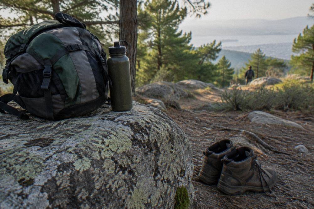
Then the practical layer. Greece is in the Schengen area and has used the euro since 2001, so there are no border formalities for most European visitors and no currency arithmetic beyond the euro figures printed above. The climate resilience fee on accommodation exists, is collected by the accommodation, is charged per room per night, and is higher from April to October; ask your hotel for the exact amount rather than expecting it in a quoted rate. Beyond that, ordinary mountain sense applies: water, layers, a charged phone with 112 saved, and a start early enough that the return is not being decided in the dark.
Finally, be sceptical of one specific piece of folk advice. Older pages still claim Thessaloniki has no metro, which is out of date: Line 1 opened in November 2024 and the Kalamaria extension followed on 27 August 2026, so the city-transit leg of a hiking morning, the ride out toward the northern edge for Seich Sou, runs on a working system with a 0.60 euro basic ticket and a 2.50 euro daily ticket, per the metro's own ticket page. The Thessaloniki metro guide covers it in full.
Should You Combine A Hiking Trip To Thessaloniki With Days On The Coast?
Yes, and the geography practically insists on it: the swimmable coast starts at Perea about 28 minutes by road from Aristotelous Square, the Halkidiki peninsulas of Kassandra and Sithonia run about 78 and 96 minutes out, and the Nea Paralia in the city itself is a walking promenade on the water rather than a beach, so the coast is a separate, easy add-on to any hiking week.
The pairing works in both directions. A spring week can alternate an Olympus trailhead day with a Halkidiki beach afternoon, water temperature permitting, and a summer week can invert it: dawn on the Prionia paths, midday in the shade, evening on the sand at Perea or Agia Triada. The beaches near Thessaloniki guide carries the coastal detail, and the Halkidiki day trip pages cover the two peninsulas, Kassandra the more built-up of the pair, Sithonia the wilder, without this page needing to rank them.
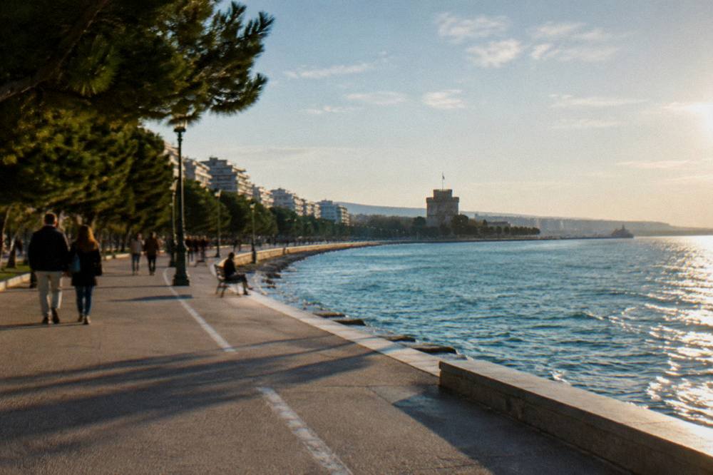
One boundary line matters and is worth repeating because so many pages blur it. The Nea Paralia is the city's seafront promenade, a walking and running space on the Thermaic Gulf, and swimming from it is not the local practice; the designated swimming beaches sit south of the city at Perea, Agia Triada and Epanomi. Walking it, on the other hand, is one of the free pleasures of the city, and a hiking holiday here will likely log its easiest kilometres on that promenade regardless of the plan.
For the evenings, the food side of the region is the equal of the walking side, and a chef-led tastings walk through the markets and counters of the centre is a fitting end to a week of trail mornings.
That trio covers the three halves of a car-free city day: the monumental ride past the White Tower and the Rotunda, a private walk with a local, and the food crawl the city is known for. Pair each with a hiking day out and the week builds itself.
Common Questions About Hiking Near Thessaloniki
What is the closest hiking to central Thessaloniki?
The Seich Sou forest on the city's northern edge is the closest walking ground, reachable by city transport without a car. It offers shaded woodland paths rather than mountain terrain.
When is the best time of year to hike around Thessaloniki?
Spring and autumn. April and October post mean daily highs of 19.1 C and 21.2 C at the HNMS Thessaloniki Mikra station, 1959 to 2010, against 31.7 C in July, with moderate rainfall either side.
Is Mount Hortiatis good for walking?
Hortiatis, the wooded massif southeast of the city, suits half-day walks on village trails and forest roads, a short drive from the centre.
Can you walk on the Nea Paralia seafront in Thessaloniki?
Yes, and walking it is its purpose: the Nea Paralia is a promenade on the Thermaic Gulf, not a swimming beach. The designated swimming beaches sit at Perea, Agia Triada and Epanomi south of the city.
Do you need a car to hike near Thessaloniki?
Not for Seich Sou, which sits on the city's northern edge and is reachable by ordinary city transport. For Hortiatis, Olympus trailheads, Dion and the wider region, a car or an organised day trip is the practical answer.